The capstone project for the IBM Data Science Professional Certification on Coursera is a significant challenge compared to many of the other courses and certifications I’ve done before. This one didn’t spoon-feed the necessary code, gave an open-ended spec requiring creativity, and required a full report to complete.
I loved the creative aspect, as it allowed me to dig into something that I and some other friends have recently encountered – the challenge of relocating as a parent. The issue is that if you don’t know an area, it’s hard to know how many kid-friendly venues are within a reasonable drive and hence whether it would be worth considering a home there.
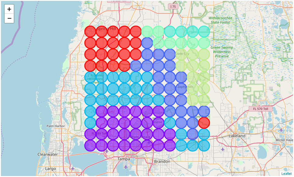
So, I wrote this Jupyter Notebook to help. It does require some basic Python skills to run, as it isn’t wrapped into a final application or program with a nice GUI interface. But when run, it will return to the user an interactive map with color-coded areas that group similar ones together and provide a raw count of kid-friendly venues easily accessible from that area.

To see the full report, code, and outputs, open this Github link that goes straight to the Jupyter Notebook and embedded report.
If you like the project and wish to run it yourself or branch it to your Github, open this link to take you to the project folder.
Thank you for reviewing my project and thank you to the graders reading this post!